
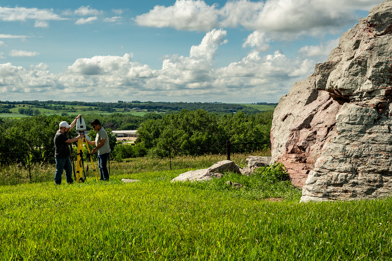
In its work supporting the School of Earth, Environment, and Sustainability, College of Liberal Arts and Sciences Technology Services and student researchers documented Pilot Rock, a massive glacial erratic near Cherokee, Iowa, using advanced 3D scanning technology.
A glacial erratic is a large rock that was carried by glacial ice and deposited far from its original source, often standing out because it does not match the surrounding geology.
The effort aimed both to digitally preserve the site and to identify petroglyphs—images or symbols carved or etched into rock surfaces by indigenous peoples in the past—that are not easily visible to the naked eye.
Two terrestrial LiDAR scanners and a handheld 3D scanner—borrowed from the Department of Anthropology—were used to capture detailed scans of the rock. These scans were converted into high‑resolution 3D digital models and physical 3D prints.
“The work supports ongoing research, public outreach efforts, and an application to add Pilot Rock to the National Register of Historic Places,” says Adam Skibbe, senior geographic information systems administrator, who led the project.“